PDF · janúar 2005Regional Scale Assessment of the Natural Hazard Potential for Road no 76 from Siglufjörður to Straumnes
A substantial part of the Icelandic road network lies in areas which are affected by natural hazard processes. Though the resulting road maintenance costs are considerable there is no general overview of the natural hazard situation up to now. The total length of the classified highway road network in Iceland today is ca. 8200 km, mostly low-volume roads outside built-up areas. The rural network contains ca. 4300 km highways and ca. 3900 km distributor roads. Collector roads and mountain tracks are not
included.
The aim of this investigation is to describe and assess the generalized natural hazard situation on classified rural roads, i.e. following a regional scale approach. The results are maps indicating the natural hazard potential for specific road sections, which can provide a basis for detailed planning.
The main emphasis is on the following natural hazard processes:
· rockfall and sagging
· flooding and debris flows
· avalanches
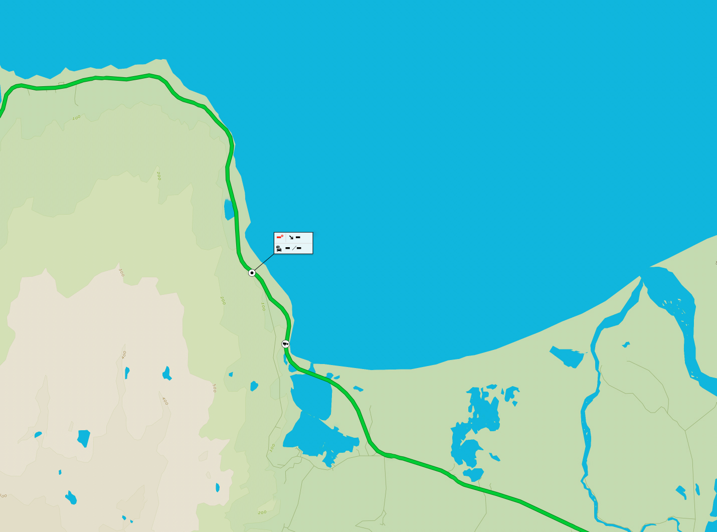
The regional scale approach is calibrated by a detailed investigation of the section of road no 76 from Siglufjörður to Straumnes.
This comprises the following steps and results/deliverables:
· mapping the natural hazard areas
· evaluation of the specific natural hazard processes
· comparison of the investigated natural hazard processes
· comprehensive assessment for the specific road sections
· recommendations
To guarantee that the developed approach can be applied to all classified roads in Iceland the investigation needs to be mainly based on already existing data most of which is available at the offices of Vegagerðin and Veðurstofa Íslands.


