


PDF · apríl 2007Monitoring of the Tjarnardalir landslide, in central North Iceland (Innri gerð berghlaupsins í Tjarnardölum)
grein birt á ráðstefnunni: "First North American Landslide Conference, Vail Colorado
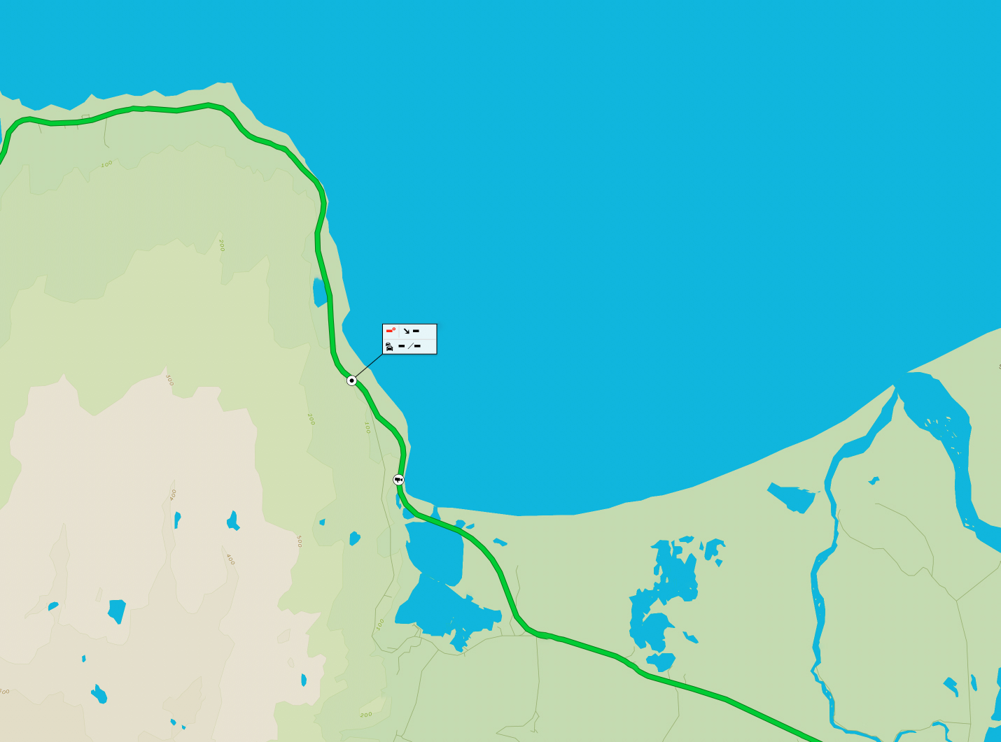
The Tjarnardalir landslide is located in the Almenningar area, in the outermost part of the Skagafjordur fjord, in central north Iceland. The landslide is a part of extensive
sliding area on the eastern side of the fjord. The Tjarnardalir landslide originally fell as a rockslide from the western side of the Manarfjall Mountain. The front of the landslide reaches the present coast, forming up to 60 m high coastal cliffs that show clear indications of extensive coastal erosion. Geomorphological indications show that the landslide mass has a constant westward movement towards the sea, with mean rate up to 69,2 cm/year. The stratigraphical record confirms that glaciomarine fine grained (silt/fine sand) sediments underlie the sliding material. Groundwater, which penetrates through the coarse landslide material, stops on the fine grained material and thus forms a sliding plain. It is assumed that the main part of the sliding movement takes place on this boundary. There is a clear correlation between the landslide movement and weather conditions. The main sliding movement occurs during the snowmelt period and during the autumn rain period. It is suspected that extensive
costal erosion also plays a role in the sliding movement, but the erosion rate is not known. Electrical resistivity measurements indicate that the moisture content in the debris mass is high, which indicates extensive ground water flow.
